Powered by JetStream Technology
Leica Geosystems is proud to offer a collection of products developed exclusively for distribution by Leica Geosystems which leverage our core JetStream technology, bringing universal access to reality capture data via smarter, ‘publish once’ workflows. JetStream powers both a centralised project workflow in our Enterprise management server for collaborative streaming, as well as a local, shareable workflow via LGS files. JetStream technology powers instant visualisation and full data access, including:
- Point clouds
- Imagery (including HDR and IR when available from Leica Geosystems sensors)
- GeoTags (geo-located hotlinks) and their attached and associated media assets
- Assets (such as photos, videos, text files, reports, and more)
- Markups
- Extensive metadata
JetStream technology is a collection of core Leica Geosystems’ reality capture software technology components. JetStream technology powers the Leica Cyclone product family and are deployed by Geosystems partners to super-charge their solutions and optimise reality capture workflows. Leica Geosystems is bringing added value beyond just point clouds and imagery to the market’s best-in-class workflows. The Powered by JetStream partner products range from in-field applications to automated Building Information Modelling (BIM) extraction and specialty data analysis, all powered by the unique JetStream technology.

PointFuse - Powered by JetStream
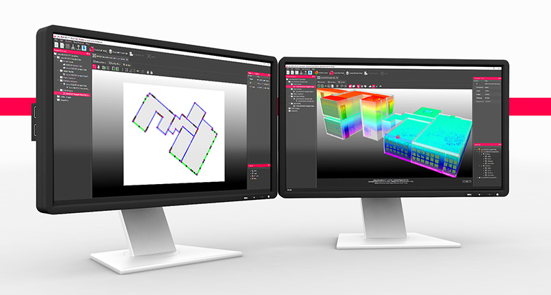
PointFuse powered by JetStream software enables you to create intelligent mesh models of any environment. It automatically converts point cloud data, including the LGS format and other popular file formats, into as-built models that can be classified and used in any industry CAD or BIM system. Typically, it delivers models 70% faster than traditional methods, saving time and money.
With specialised settings for Leica Geosystems sensors, PointFuse is an ideal companion for the BLK2GO and BLK360 as a streamlined solution for creating LOD200 BIM used with BIM and CAFM systems.
PointFuse has been designed with a focus on ease of use and scalability. Its mesh segmentation and classification delivers highly optimised models, ensuring their ongoing use is accessible across the project team.
PointFuse Flyer: DOWNLOAD
PointFuse Technical Specification: DOWNLOAD

Verity - Powered by JetStream
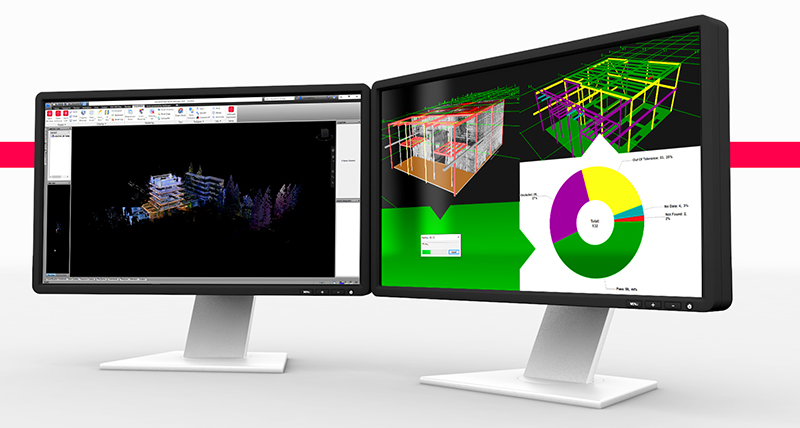
Verity is an automated construction verification software that compares laser scans of as-built conditions against any 3D Navisworks model to generate accurate quality assessments.
Reduce Risk: Understand existing work, ensuring 100% verification in the time it takes to spot-check 5%.
Reduce Schedule Delays: Share variance data for immediate remediation. Verity Web Reports provide easy access to models, point clouds, and reports.
Increase Project Profitability: Reduce the financial impact of rework from as-built variances, identifying missing elements early in the process.
Automatically Create a True As-Built Model: Update models in Navisworks to reflect real-world conditions. Export point clouds to the correct design platform so subcontractors can make updates quickly.
Verity Flyer: DOWNLOAD

Rithm - Powered by JetStream
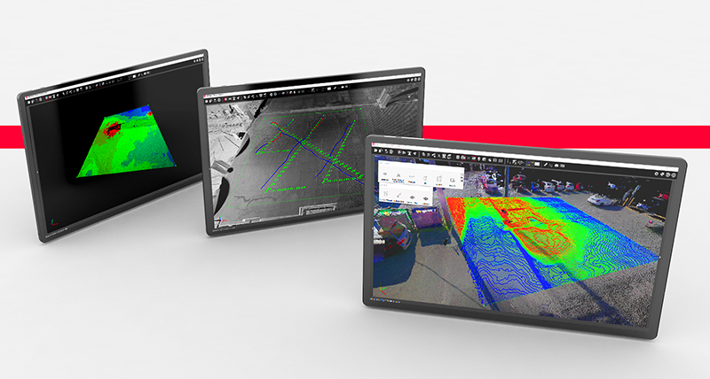
Rithm, powered by JetStream provides insights on deviation analysis for steel beams, plus slabs and concrete decks to national standards. View exported heatmaps directly on architectural drawings, making cut/fill areas easy to identify and systematically address, or verify the status of steel beams before and after concrete pouring to uncover any deflection that may be occurring, allowing critical decisions to be made.
In-field: work with raw RTC360 scans and leverage the speed of the laser scanner to go from data capture to FF/FL inspection (ASTM1155 compliant) and reporting in less than 5 minutes - a game changer for correcting concrete pours before they set
In-office: work with complete, geo-referenced LGS files or JetStream projects within the powerful, free JetStream Viewer