Leica Pegasus:Two Ultimate Mobile Sensor Platform
Seamless 360-degree imagery calibrated to the point cloud for improved smart city applications
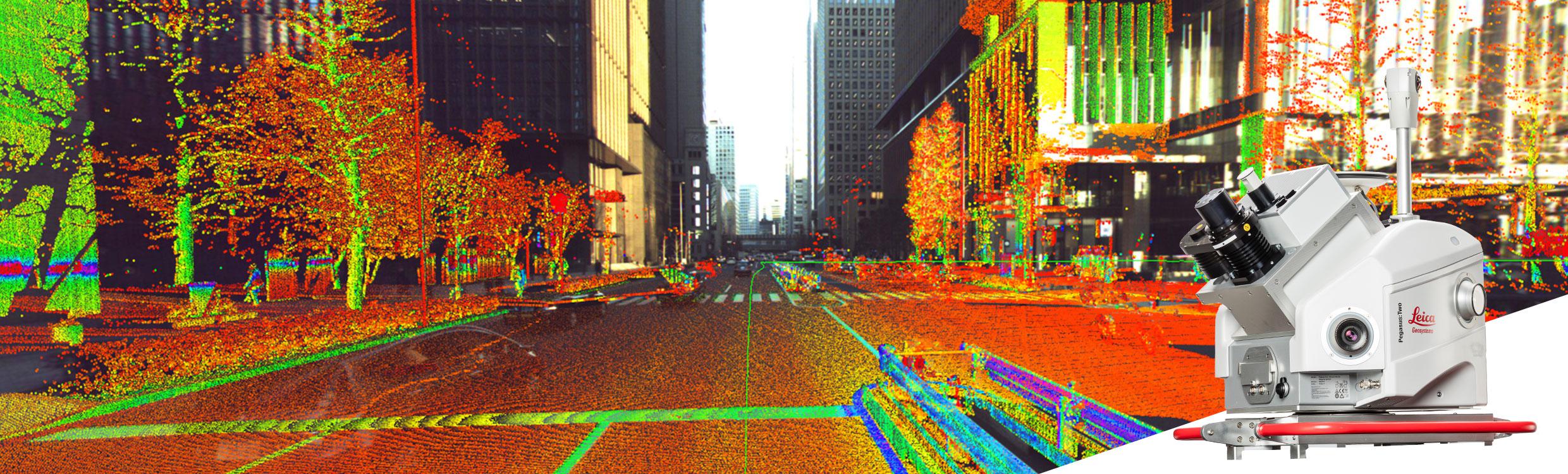
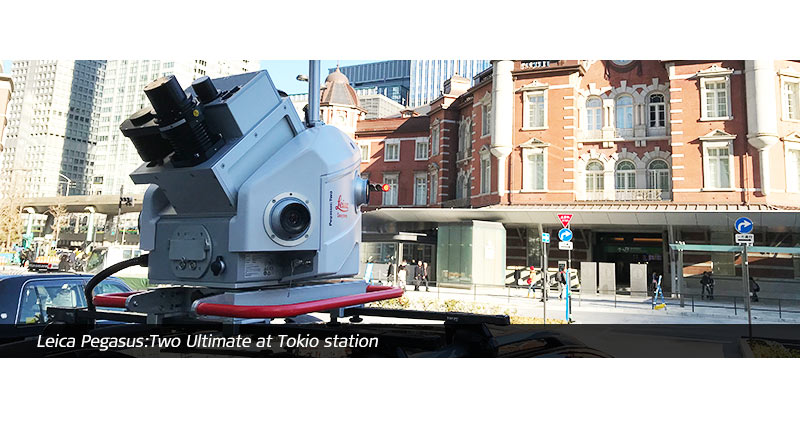
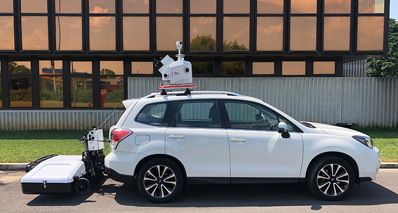
The Leica Pegasus:Two Ultimate is the updated version of the Pegasus:Two, Leica Geosystem’s trusted mobile mapping platform, and removes the need for six camera stitching by incorporating two back-to-back cameras creating a 24 MP 360-degree image calibrated to the LiDAR profiler data, enabling digital reality captures from car, train, or boat. To enable faster processing at the office, a removable SSD allows to simply eject your data and walk into the office.
The new Leica Pegasus:Two Ultimate increase your working day - allowing capture in a variety of lighting conditions and vehicle speeds - a higher dynamic range is enabled by a large sensor to pixel ratio and a dual-light sensor. Photogrammetry and image quality is improved with the increased side camera resolution of twelve mega pixels and onboard JPEG compression.
Compared to the Pegasus:Two, front and rear cameras are removed as the photogrammetry measurements offered from these positions are not needed in the upgraded system due to the geometry of the possible stereo pairs.
- Side cameras deliver 8.0 FPS at 12 MP, each side camera provides 61° x 47° FOV
- Maximum pixel size at 10 m is 3 mm
- Adjustable pavement camera with 12 mm lenses, enables targeted image capture along a road or in a tunnel
Leica RTC360 3D Reality Capture Solution
360-degree camera
The new 360-degree 24 MP camera system provides ‘stitching free panoramic images. A telescopic pole enables easy storage to prevent damage of the camera head. The 360-degree camera data can be used to colourise the point cloud. The 360-degree image and the point cloud can be viewed together as overlays.
City digitisation
Digitisation of city infrastructures, planning, and resources is the foundation of the Smart City, the Pegasus:Two Ultimate will enable your growth and ability to offer the best solution for this market. Seamless 360° imagery calibrated to the digital point cloud will help you to deliver easily realised data assets for a future with autonomous vehicles.
Data sharing
Use the new Leica Pegasus:WebViewer to access and share the data at anytime from anywhere. The software enables faster visualisation, delivery, and invoicing of the captured data which is stored in the cloud. The system allows the point cloud rendering in any browser without the need for additional plug-in to navigate and measure.
Increased flexibility
More sensor expansion ports offer additional means to capture the city in ones and zeros by connecting additional sensors. Time savings are further increased with an industrial, yet removable, USB 3.0 hard drive, enabling the user to save the data directly on the removable drive and connect seamlessly to any PC or server with a USB 3.0 interface.
Pegasus:Two Ultimate and IDS Stream UP solution
Pegasus:Two Ultimate and Stream UP systems can be easily combined to deliver synchronised data acquisition of Ground Penetrating Radar, LiDAR and camera intelligence with a collection speed of up to 60 km/h. This integrated solution enables the accurate reconstruction of geospatial assets above and below the ground.