Leica Pegasus:Swift - Mobile Sensor Platform
Fast 3D digitization – Improving Smart City applications while enabling visual based reality city transformation
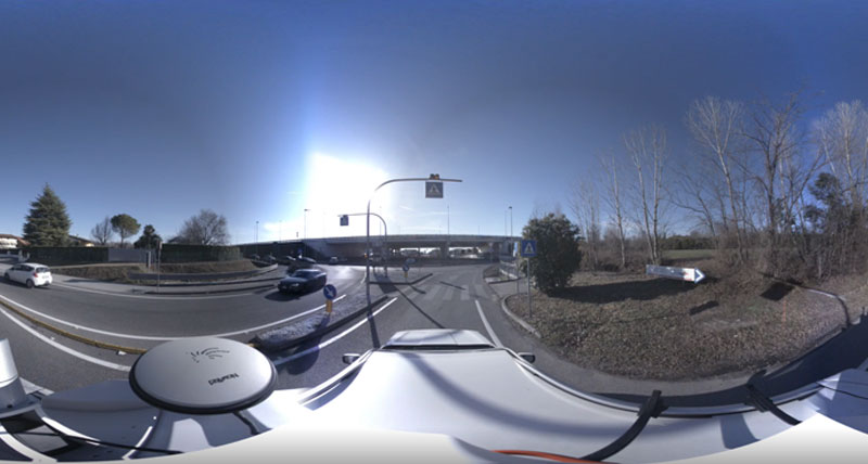
The Leica Pegasus:Swift is a vehicle independent, mapping solution combining LiDAR and high resolution 360° seamless panoramic images for GIS based applications - utility right-of-way, mining , construction, city planning and clearances. Leveraging Leica Geosystem’s trusted mobile mapping platform, the new Pegasus:Swift is the gate into the digitisation solution to enable your low barrier toentry into Smart City Mobile Reality Capture. Providing an application flexible platform which is light weight, highly efficient in volume capture for fast decisions and project invoicing for mass 3D digitization.
Multi-beam LiDAR enables the capture of more points with each rotation. Time savings are further increased with an industrial, yet removable, USB 3.0 hard drive, enabling the user to save the data directly on the removable drive and connect seamlessly to any PC or server with a USB 3.0 interface
Leica RTC360 3D Reality Capture Solution

Smart City
Digitisation of city infrastructures, planning, and resources is the foundation of the Smart City. The Pegasus:Swift enables your business growth and ability to offer the best solution for this market. Seamless 360° imagery calibrated to the digital point cloud will help you deliver easily realised data assets. More sensor expansion ports offer additional means to capture the city in ones and zeros.
Location Digitalisation
In combination with the Leica Pegasus:Manager workflow, the software offers efficientl feature extraction of 3D scenes and assets. The software package is a single workflow solution for automated feature extraction by multiple modules which can be added when needed. A data exchange module also eases localisation for 3rd party software packages.Visualisation of captured data in Pegasus:WebViewer provides access and the possibility to share your data at anytime from anywhere from the cloud - enabling faster visualisation, data delivery, and project invoicing. Through the complete storage in the cloud and the point cloud rendering in any browser, without any plug-in, the images are calibrated to the point cloud therefore allowing you never to miss data in the point cloud – all enabled by the web browser solution of the Pegasus:Manager.