Leica Map360 : Scene Diagramming and Accident Reconstruction Software
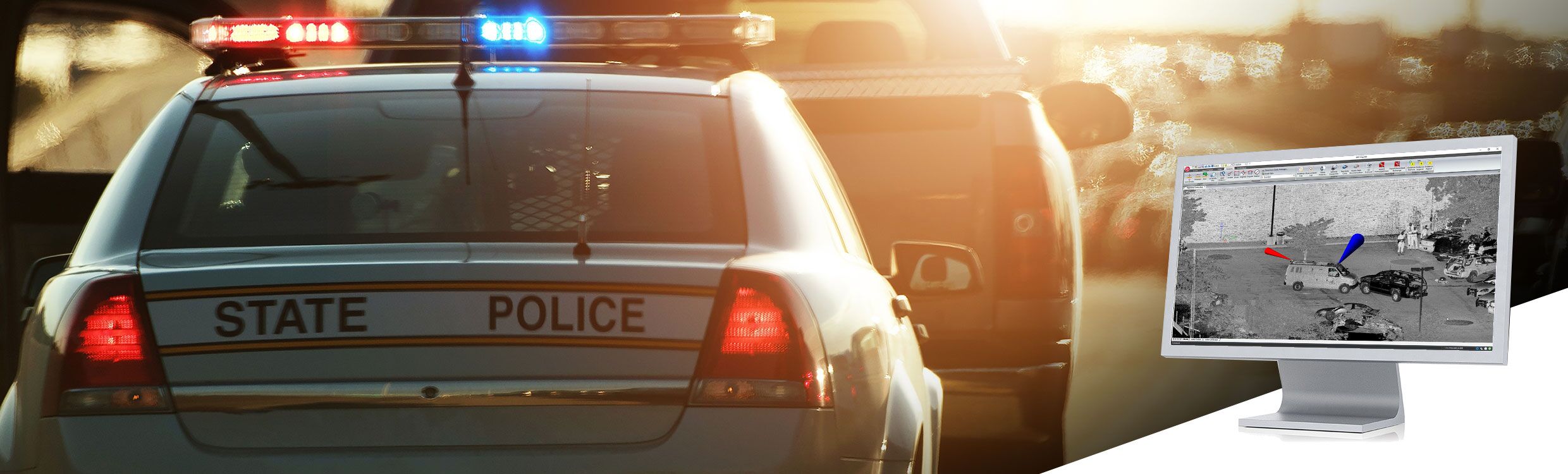
Leica Map360, part of the Leica Geosystems Incident Mapping Suite, is a crash and crime drawing software solution that lets users import, process, analyse, visualise and create court ready deliverables. Map360 provides crash and crime reconstructionist with multiple user interfaces for all skill levels and easy to use tools to visually communicate a scene and critical evidence. Import scenes of any size into Map360 from a wide range of sensors such as laser scanners, total stations and GNSS, to produce accurate 2D or 3D diagrams and animations.
Map360 continues to evolve with support for the latest mapping technologies; from both Leica Geosystems and third-party provides as well as new tools to create court ready diagrams quickly and easily. Map360 also offers two extensions for more extensive final deliverables.
Featured Highlights
Easy Scene-To-Map Productivity
Turn your data into a diagram with ease by using scene mapping software such as Evidence Recorder or Leica Captivate. With Map360, the map you create at the scene can be turned into a ready-to-print finished diagram in minutes.
Witness Viewpoint Analysis
Corroborating or disproving witness statements about what they could or couldn’t see during the incident is simple using Witness Viewpoint. Just pick a point, add a viewpoint at a specific height above that, and take a look around for yourself in 3D view mode.
Sophisticated Crash and Crime Scene Reconstruction Tools
Calculators are included for a variety of crash reconstruction formulae; speed, deceleration factor, kinetic energy, momentum, kinematics, and more. Also included is an updated vehicle specification database and a powerful bullet path reconstruction tool that uses a best fit solution to establish accurate trajectories.
Support for all of your Measuring Tools and Methods
Flexibility and multi-sensor support makes Map360 both productive and scalable to your agency’s needs as they change and grow. Starting with manual scene measurement entry, all the way up to advanced mobile mapping systems (and everything in between!), Map360 provides a common user experience for a wide range of sensors, including support for total stations, laser scanning, GNSS, MultiStations, Unmanned Aircraft Systems, Photogrammetry, Manual Measurement Data and mobile scanning solutions.
The Power of CAD, Simplified
Map360 is the most precise desktop forensic mapping software available in the world and is the only solution that has an industry leading 3D CAD system built-in. The underlying precision of our engineering-grade CAD engine provides you with a solid foundation to your work that is precise, compelling, and irrefutable.
Audit Log for Evidence Integrity
The CAD points that make up your diagram are stored in a separate, protected database file for security. Any attempt to change point coordinates will result in a warning. Any changes made are noted in the database and can be examined through audit log reporting.
Simple Sketch or Advanced Mode, You Decide!
Sometimes you just need to generate a simple 2D scene diagram in a hurry. Our easy-to-use sketch mode is perfect for that. Should your project have more demanding needs, you can switch to advanced mode to give yourself access to the tools you need, when you need them.
Custom Library
The new Collada importer allows us to bring in many newer and more sophisticated 2D and 3D models and saves into the program allowing you build up your own custom library.
Wizard for Creating Finished Diagrams
Interactive templates allow you to easily visualise your printed diagram before you print compelling documents.
Customisation
Map360 has the ability to easily customise your drawing area and tool bars for maximum productivity.