
Leica BLK3D
เครื่องมือวัดระยะสามมิติจากภาพ ซึ่งวัดสิ่งใดๆได้อย่างแม่นยำด้วยเพียงปลายนิ้วของคุณ สามารถถ่ายรูป และวัดระยะ หรือหาพื้นที่ รวมทั้งความลึกได้ ส่งออกรูปภาพพร้อมข้อมูลการวัดสามมิติ ในรูปแบบ PDF และ JPG คุณสามารถเพิ่มฟังก์ชัน Sketch & Document และส่งออกในรูปแบบไฟล์ PDF, JPG, DXF และ DWG (2D/3D/raw) ข้อมูลเหล่านี้เข้าถึงได้ทุกที่ ไม่ว่าคุณจะอยู่นอกสถานที่หรือจัดการข้อมูลบนเดสก์ท๊อปในที่ทำงาน
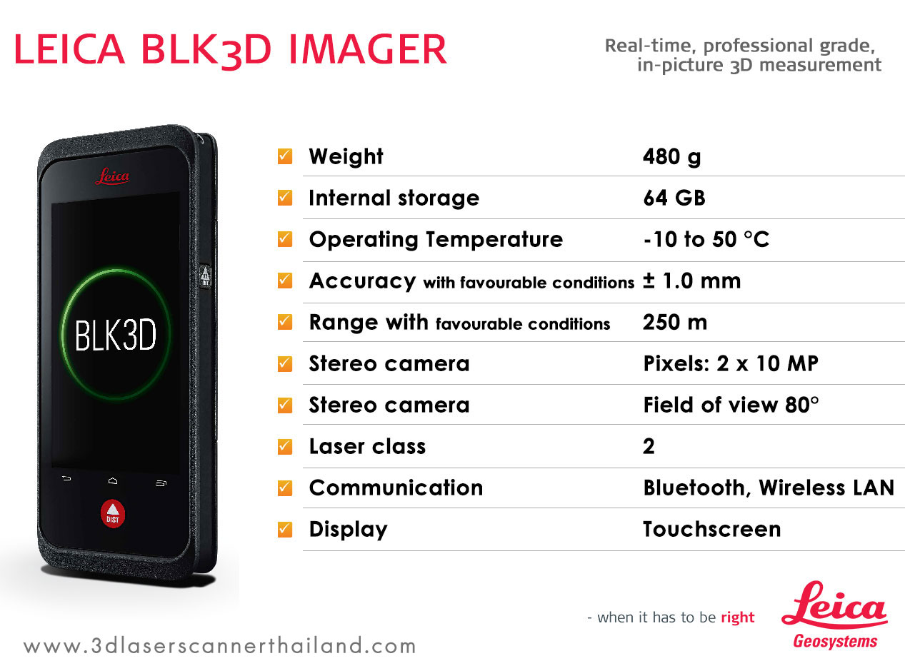
คุณสมบัติ Leica BLK3D
• น้ำหนักตัวเครื่อง: 480 g
• หน่วยความจำภายในเครื่อง: 64 GB
• อุณหภูมิสามารถทำงานได้: -10 ถึง 50 °C
• ค่าความคลาดเคลื่อนของเลเซอร์: +- 1.0 mm
• ระยะเลเซอร์ไกลสุด: 250 m
• ความละเอียดกล้อง: 2 x 10 MP
• มุมมองของกล้อง: 80°
• แสงเลเซอ์ประเภท: class 2
• การเชื่อมต่อ: Bluetooth, Wireless LAN
• ควบคุมสั่งงานผ่านหน้าจอด้วยระบบ Touchscreen
รูปแบบการนำไปใช้งาน
งานด้านการออกแบบ, การวัดระยะจากภาพถ่าย , การหาพื้นที่ เป็นต้น
The Leica BLK3D is a real-time, in-picture 3D measurement solution. By combining measurement sensors, software, and on-device edge data processing capabilities, the Leica BLK3D makes in-picture measurements with professional-grade accuracy in real-time possible. Every image captured is a complete and precise 3D measurement record.
Its edge computing capabilities eliminate the need for network connections and cloud services, ensuring professionals can make faster decisions within their daily workflows – whether measuring inaccessible locations, creating floor plans, estimating building installations, documenting construction site progress or creating measurable, as-built documentation.
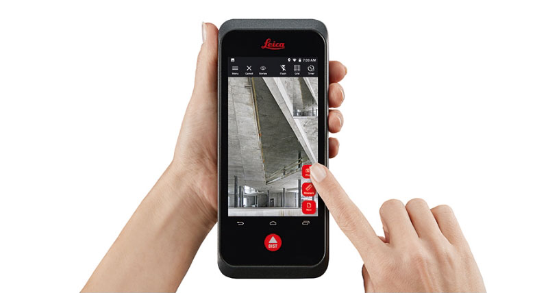
BLK3D Imager
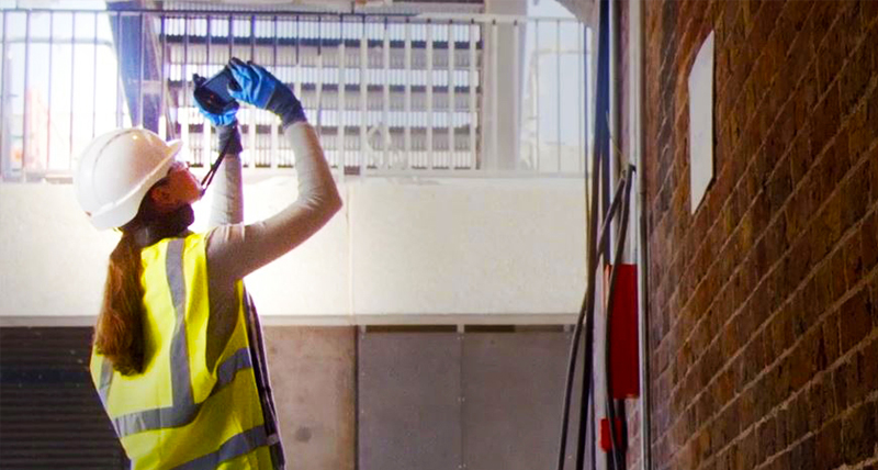
Informed decisions on the spot
In-picture measurement information is available immediately on the handheld 3D Imager. Data is processed on device, meaning there is no need for data transfer or a network connection.
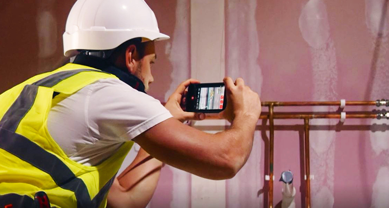
Capture and document existing conditions
Construction plans often do not reflect reality. Therefore, measurable images that reflect ‘as-built’ conditions are a great support for validation, facility management and future renovation projects.
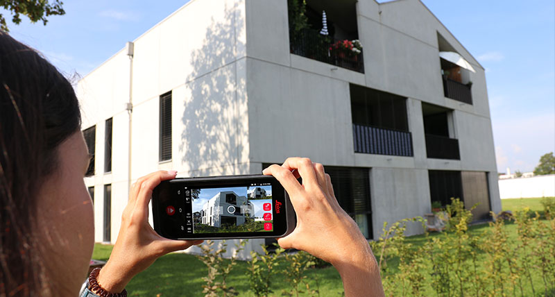
Increased efficiency
Manual measurements and documentation are time consuming and error prone. Duplicate efforts of measuring, sketching, writing down the information and then entering it into a digital solution are streamlined.
BLK3D Desktop
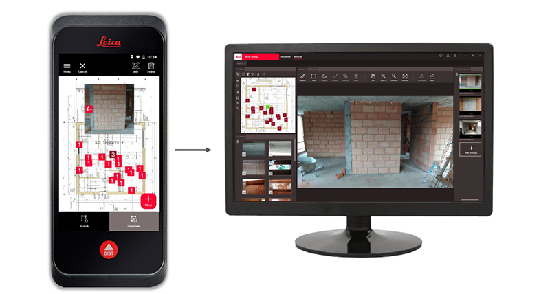
Measurable photo documentation
Document your work with a complete visual and measurable archive of your project using existing PDF plans. Send 3D images captured by Imager to your computer where they can be opened and edited with the BLK3D Desktop Software.
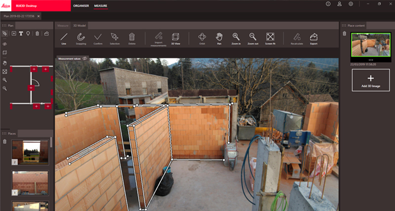
Capture and document existing conditions
Measure distance or area in 3D with the aid of the same advanced snapping algorithms that are on board the BLK3D itself. The BLK3D Desktop keeps projects organized and can export measurements as CAD drawings, JPGs, or PDFs.
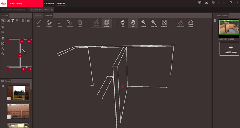
3D Modeler
Create 3D CAD models from measurements with the optional 3D Modeler. The 3D Modeler can be used to extract dimensions and geometry to create 3D CAD models (DXF or DXG).
BLK3D Web
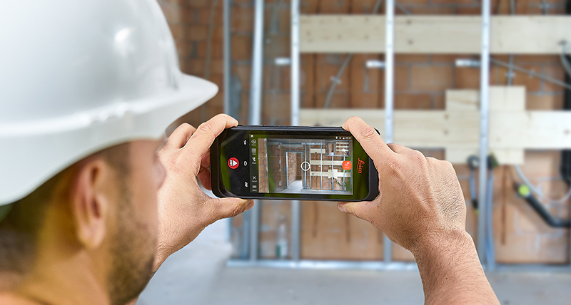
Capture
Take a measurable image with your BLK3D Imager. Add measurements, text, or markers in the field before sharing images with your team.
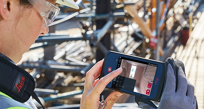
Share
Publish measurable images from the field or office to BLK3D Web using the mobile or desktop versions of BLK3D Publisher. Share a link to your BLK3D Web images by text message, email, or embed them in your project software.
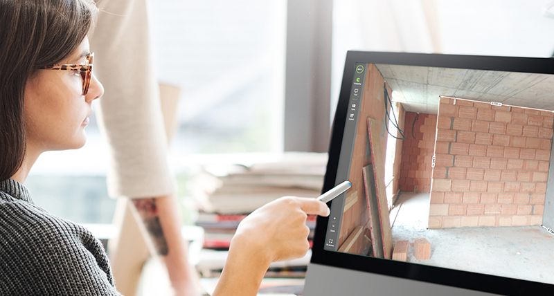
Measure
Point and click to measure. Add notes, save the marked-up images, and export to JPG. BLK3D Web accelerates communication between field and office.
BLK3D Imager
Bring field conditions closer to decision makers with the BLK3D Autodesk BIM 360 DocsTM integration. Watch the video below to find out more. Available early 2020.
-
Phone Number
084-682-1041 -
Email Address
info@jitjai.co.th -
Address
1/285 4th Floor Moo.9 Bangphut,Pakkred, Nonthaburi 11120 THAILAND