Reality Capture

3D Laser Scanner Thailand

Our reality capture solutions visualise any environment as it is so you can model with accuracy and precision.

Our Products

Mobile Laser scanner
New Lecturer Meeting

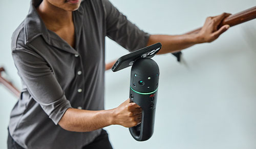
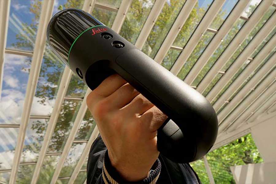
Leica BLK2GO PULSE

The world’s first handheld first-person scanner,

Terrestrial Laser scanner

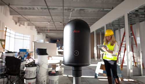
Leica BLK360

The smallest and easiest-to-use imaging laser scanner in the world.

Terrestrial Laser scanner
New Lecturer Meeting

Leica RTC360

Highly portable, automated and efficient 3D laser scanner.

Terrestrial Laser scanner
Online Teaching

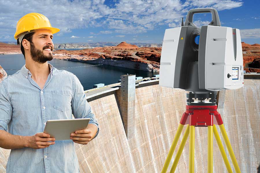
Leica ScanStation P50

The fastest and safest, long-range 3D laser scanner.

Mobile Laser Scanner
Higher Education

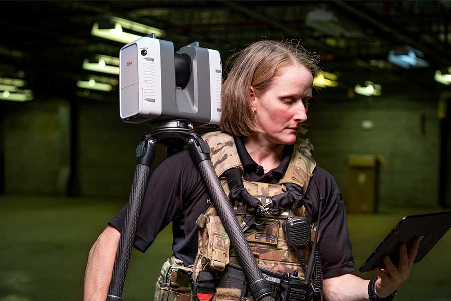
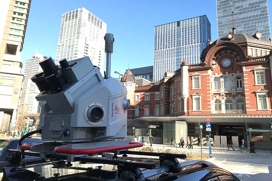
Leica Pegasus

Versatile and wearable platform for indoor & outdoor reality capture

Autonomous Reality capture
Student Training

Leica BLK2GO

Handheld, lightweight, designed for fast reality capture on the move.

3D Pointcloud software

Leica Cyclone 3D Point Cloud Processing Software

Leica Cyclone is the market-leading point cloud processing software. It is a family of software modules that provides the widest set of work process options for 3D laser scanning projects in engineering, surveying, construction and related applications.

Leica Cyclone 3DR - All-in-one Deliverable Solution

Leica Cyclone 3DR is a seamless extension of the Cyclone product family which works hand in hand to take users from field data collection with Cyclone FIELD 360 and Cyclone FIELDWORX through registration in Cyclone REGISTER 360 and deliverable creation in Cyclone 3DR.

LEICA CLOUDWORX

Leica CloudWorx CAD plugins allow users to work efficiently with large point clouds directly inside their chosen CAD system. They can use the native CAD tools and commands and the entire set of specialised point cloud commands provided by CloudWorx.  Read More

LEICA MAP360

Leica Map360, part of the Leica Geosystems Incident Mapping Suite, is a crash and crime drawing software solution that lets users import, process, analyse, visualise and create court ready deliverables  Read More

Leica TruView

Leica TruView is the industry leader for easily and intuitively sharing point cloud data, design models, mark-ups, and more. Leica TruView products are the smarter way for anyone in your project ecosystem to access, view, analyse and collaborate using digital reality data.  Read More

POWERED BY JETSTREAM TECHNOLOGY

Leica Geosystems is proud to offer a collection of products developed exclusively for distribution by Leica Geosystems which leverage our core JetStream technology,  Read More

  • Phone Number
    084-682-1041
  • Email Address
    info@jitjai.co.th
  • Address
    69/415 Moo.12 Sala Thammasop, Thawi Watthana, Bangkok 10170 THAILAND